Uploads by Icem4k
From Chalo Chatu, Zambia online encyclopedia
This special page shows all uploaded files.
| Date | Name | Thumbnail | Size | Description | Versions |
|---|---|---|---|---|---|
| 16:07, 30 June 2016 | Zambia Kaputa District.jpg (file) |  |
57 KB | 1 | |
| 15:55, 30 June 2016 | Zambia Chilubi District.png (file) |  |
151 KB | 1 | |
| 15:42, 30 June 2016 | Zambia Northern Province Districts.jpg (file) |  |
50 KB | 1 | |
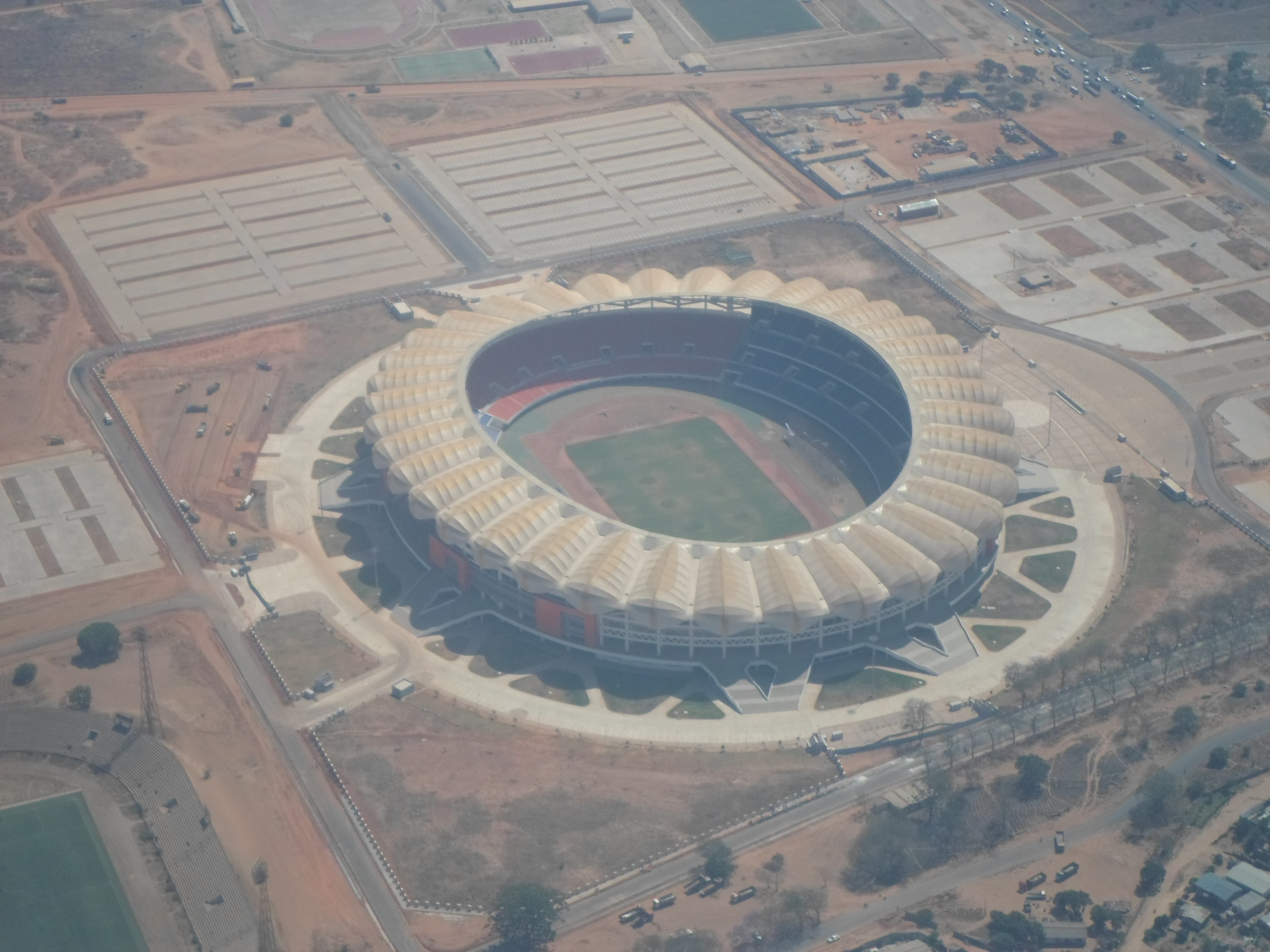
| 15:13, 30 June 2016 | Heroes Stadium 1.jpg (file) |  |
1.36 MB | 1 | |
| 21:01, 29 June 2016 | Zambia - North-Western.jpg (file) |  |
42 KB | 1 | |
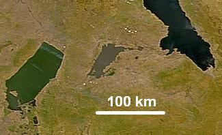
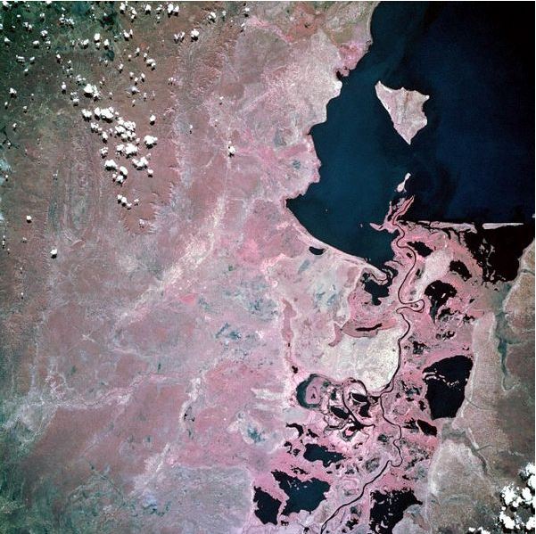
| 04:37, 29 June 2016 | Mweru Wantipa from space.jpg (file) |  |
15 KB | 1 | |
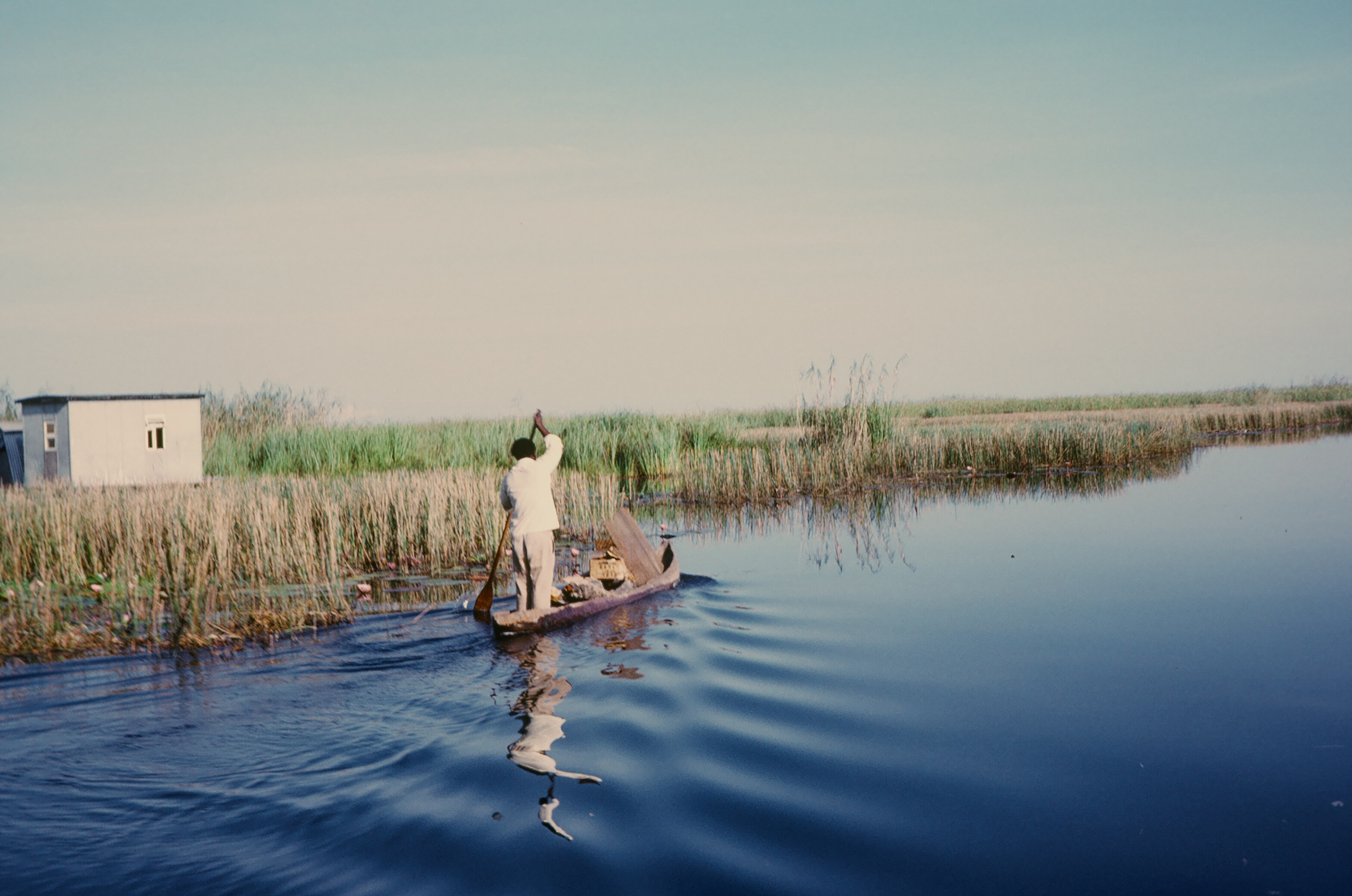
| 00:45, 29 June 2016 | Kunda people on Luangwa.JPG (file) |  |
2.69 MB | 1 | |
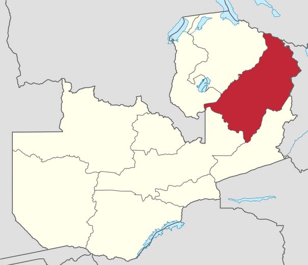
| 00:35, 29 June 2016 | Zambia - Muchinga.jpg (file) |  |
36 KB | 1 | |
| 23:48, 28 June 2016 | Kabompo River Course.jpg (file) |  |
47 KB | 1 | |
| 23:37, 28 June 2016 | Flag-map of Zambia.png (file) |  |
3 KB | 1 | |
| 23:19, 28 June 2016 | Logo of Zambia Wildlife Authority.jpg (file) |  |
5 KB | 1 | |
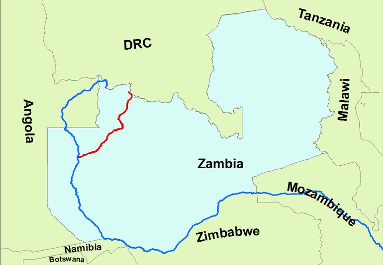
| 22:42, 28 June 2016 | Luvua - Luapula - Chambeshi River DRC.jpg (file) |  |
54 KB | The Luapula River is the middle stretch in red. | 1 |
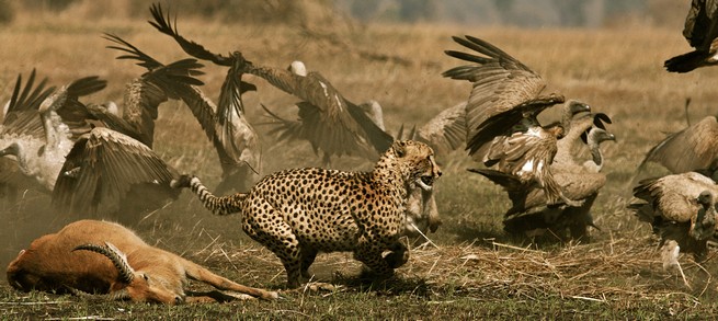
| 21:38, 28 June 2016 | Wildlife-pics.jpg (file) |  |
81 KB | 1 | |
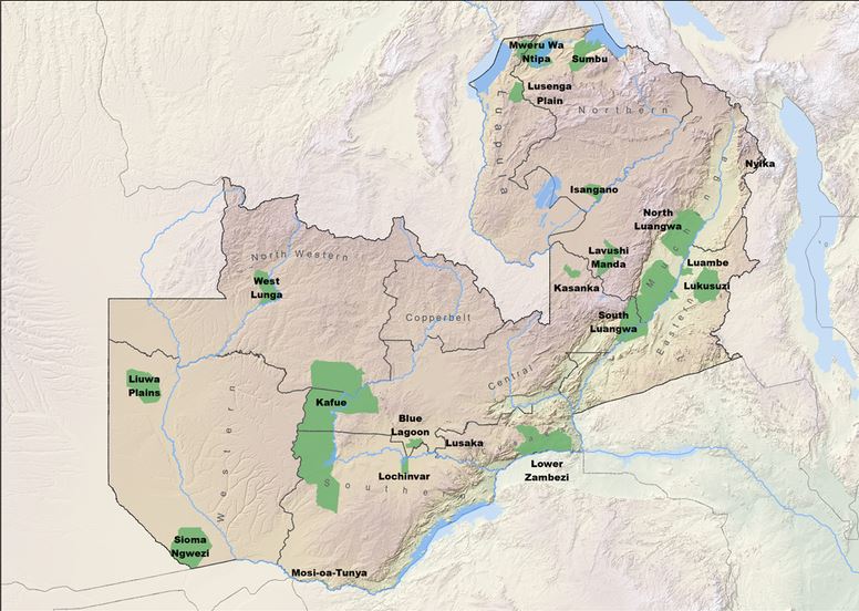
| 21:15, 28 June 2016 | Zambia National Parks Map.jpg (file) |  |
94 KB | 1 | |
| 21:11, 28 June 2016 | Kafue National.jpg (file) |  |
113 KB | 1 | |
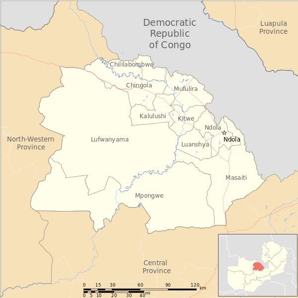
| 20:44, 28 June 2016 | Zambia Copperbelt Province Districts.jpg (file) |  |
48 KB | 1 | |
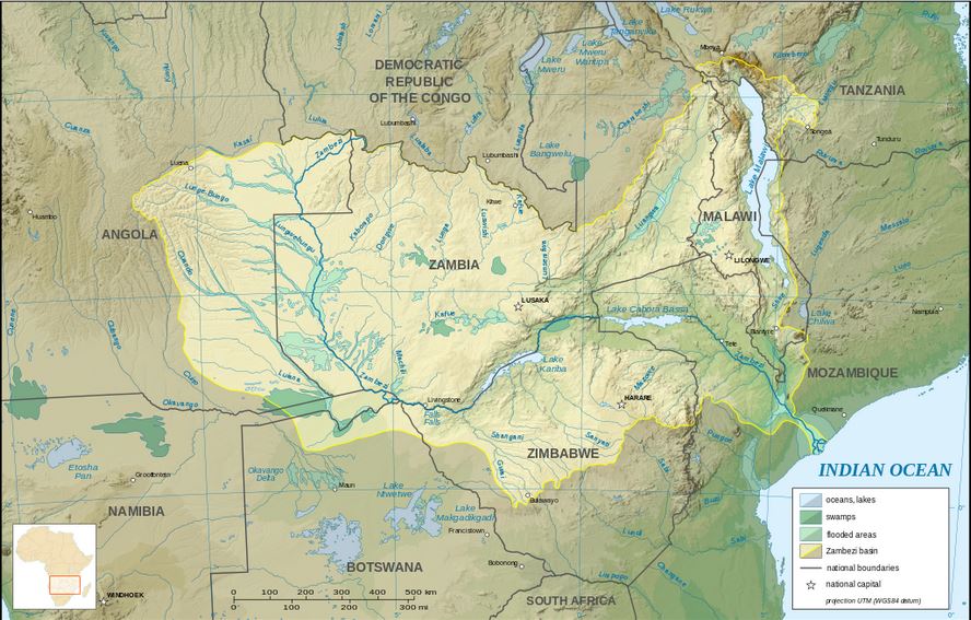
| 16:36, 28 June 2016 | Zambezi river basin-en.jpg (file) |  |
126 KB | 1 | |
| 16:30, 28 June 2016 | Zambezi.jpg (file) |  |
30 KB | 1 | |
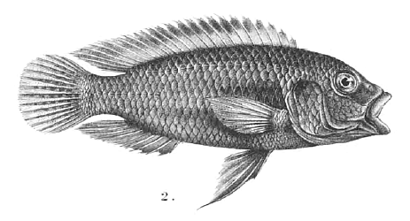
| 16:16, 28 June 2016 | Haplochromis moeruensis.gif (file) |  |
66 KB | 1 | |
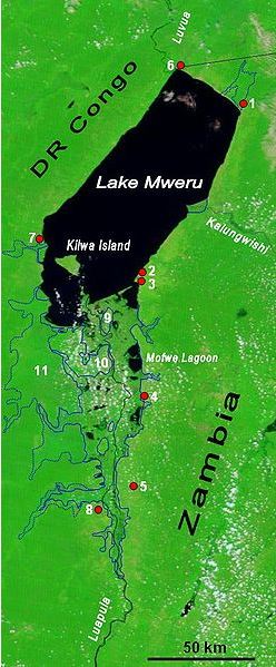
| 16:08, 28 June 2016 | Lake mweru.jpg (file) |  |
97 KB | 1 | |
| 16:07, 28 June 2016 | Mweru-Luapula.jpg (file) |  |
51 KB | 1 | |
| 15:14, 28 June 2016 | Barotseland Royal Flag.jpg (file) |  |
29 KB | 1 | |
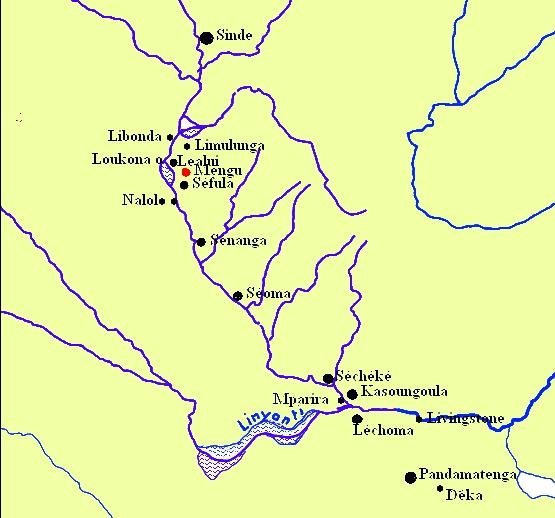
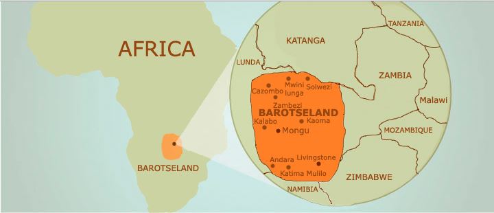
| 15:13, 28 June 2016 | Le Barotseland.jpg (file) |  |
50 KB | 1 | |
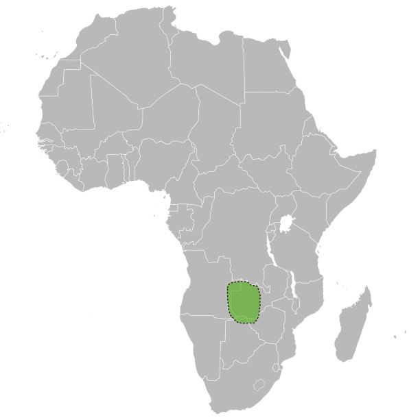
| 15:10, 28 June 2016 | Barotseland Location Map.jpg (file) |  |
30 KB | 1 | |
| 15:08, 28 June 2016 | Barotseland.jpg (file) |  |
28 KB | 1 | |
| 15:04, 28 June 2016 | Barotseland Coat-Arms shaded.jpg (file) |  |
39 KB | 1 | |
| 15:02, 28 June 2016 | Flag of Barotseland.jpg (file) |  |
18 KB | 1 | |
| 23:03, 23 June 2016 | MAZOKA.JPG (file) |  |
6 KB | 1 | |
| 22:59, 23 June 2016 | Levy Mwanawasa.jpg (file) |  |
104 KB | 1 | |
| 22:39, 23 June 2016 | Blank.jpg (file) | 93 KB | 1 | ||
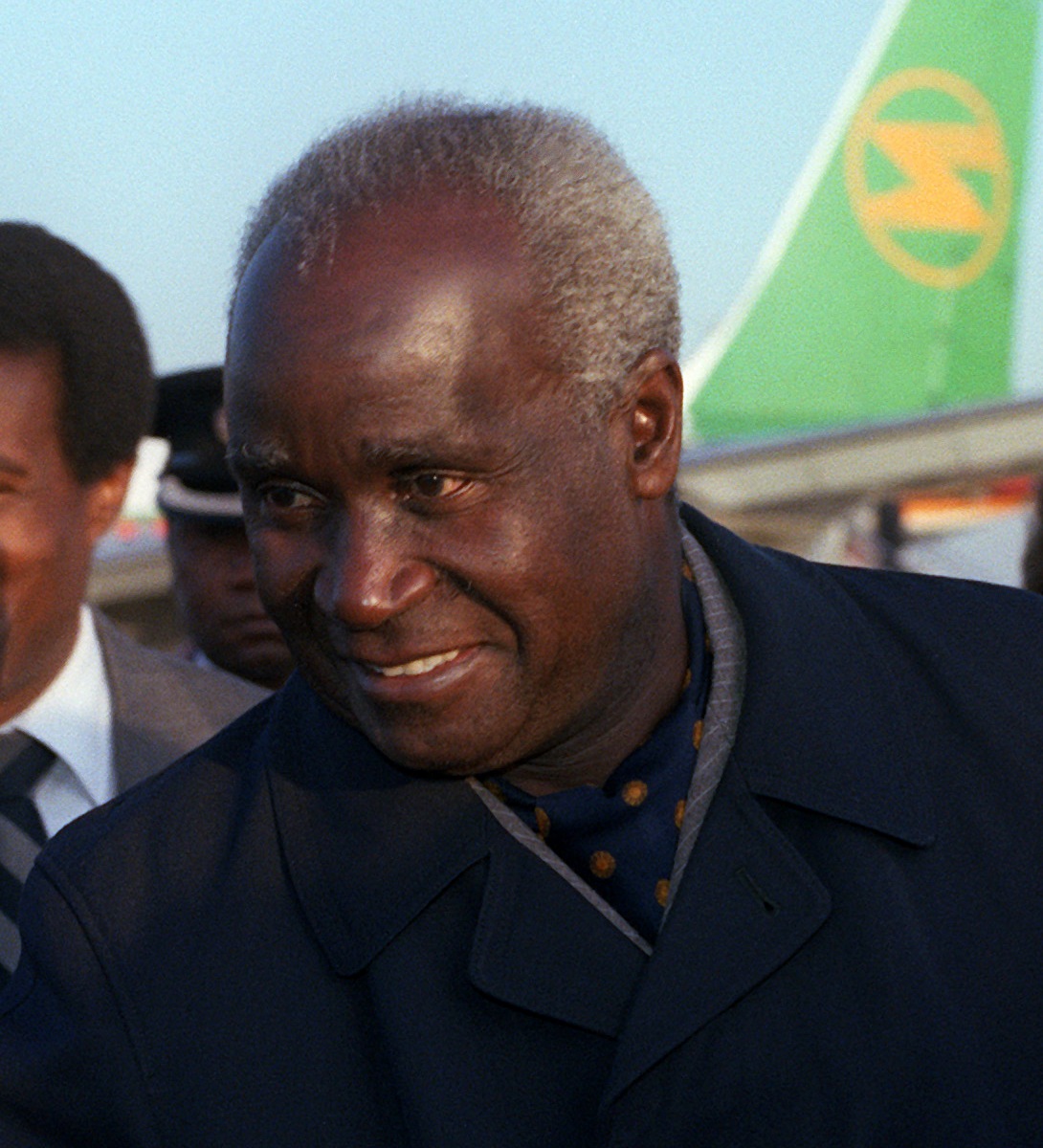
| 22:29, 23 June 2016 | Kenneth David Kaunda detail DF-SC-84-01864.jpg (file) |  |
296 KB | 1 | |
| 16:01, 23 June 2016 | Hakainde Hichilema 2014.jpg (file) |  |
25 KB | 1 | |
| 16:01, 23 June 2016 | Edgar Lungu January 2015.jpg (file) |  |
34 KB | 1 | |
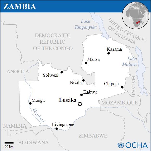
| 15:53, 23 June 2016 | Zambia - Location Map (2011) - ZMB - UNOCHA.jpg (file) | _-_ZMB_-_UNOCHA.jpg) |
55 KB | 1 | |
| 15:21, 23 June 2016 | Zambia National Assembly Building.jpg (file) |  |
45 KB | 1 | |
| 14:57, 23 June 2016 | B Flow on stage.jpg (file) |  |
34 KB | 1 | |
| 14:49, 23 June 2016 | B Flow.jpg (file) |  |
49 KB | 1 | |
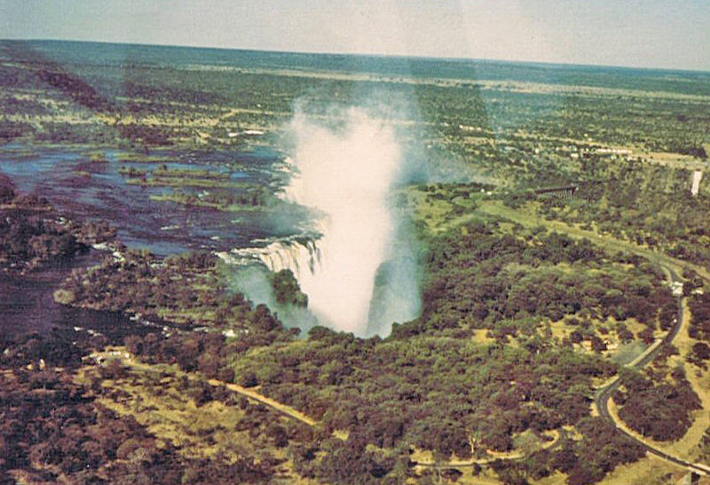
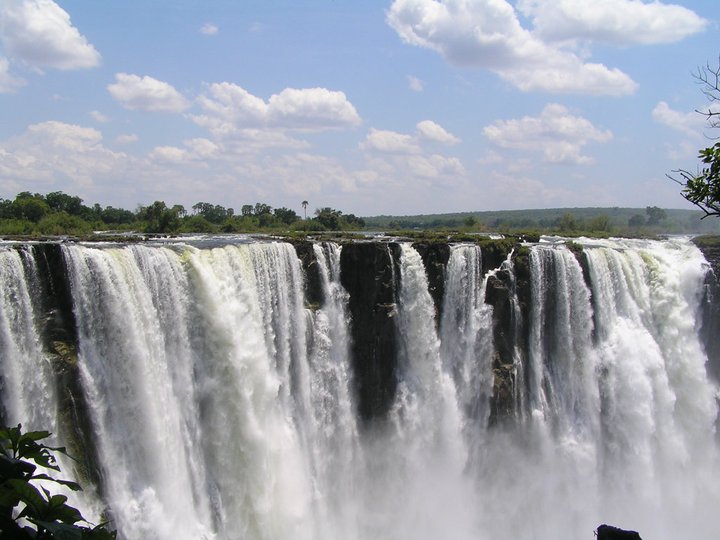
| 14:32, 23 June 2016 | Victoria5.jpg (file) |  |
165 KB | 1 | |
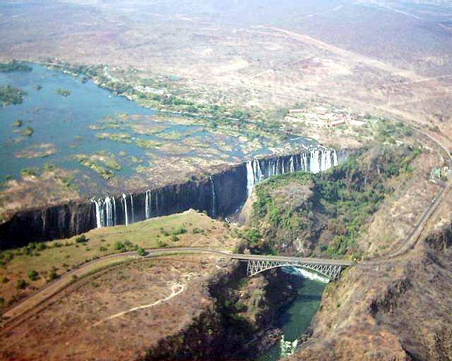
| 14:31, 23 June 2016 | Victoria Falls from the air 1972.jpg (file) |  |
119 KB | 1 | |
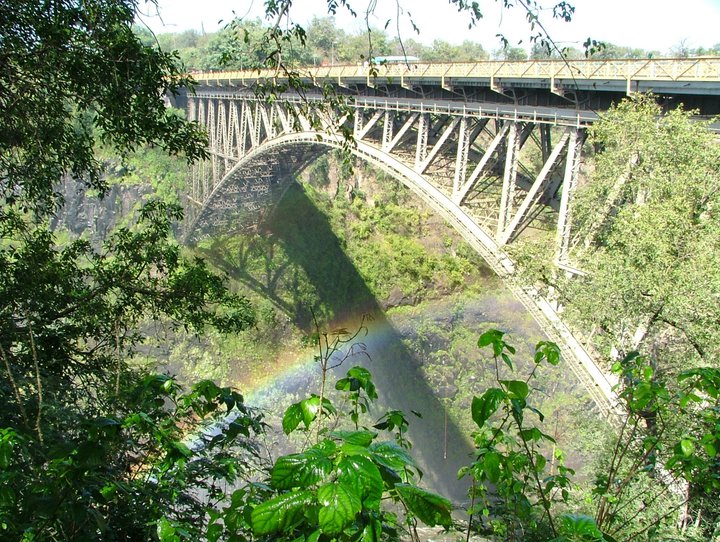
| 14:24, 23 June 2016 | Victoria Bridge.jpg (file) |  |
174 KB | 1 | |
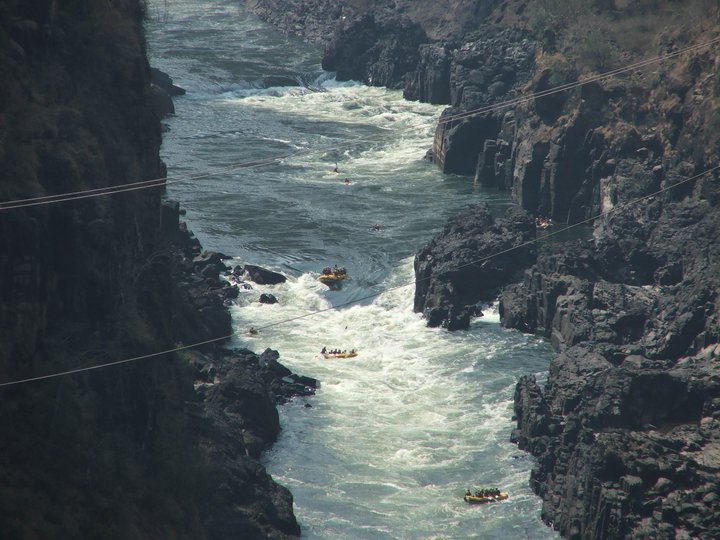
| 14:20, 23 June 2016 | Victoria Falls gorge1.jpg (file) |  |
89 KB | 1 | |
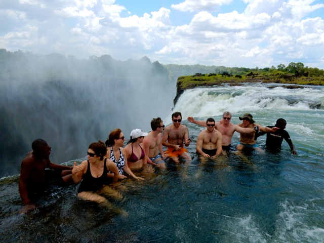
| 14:17, 23 June 2016 | Tourists swimming at Victoria Falls.jpg (file) |  |
105 KB | 1 | |
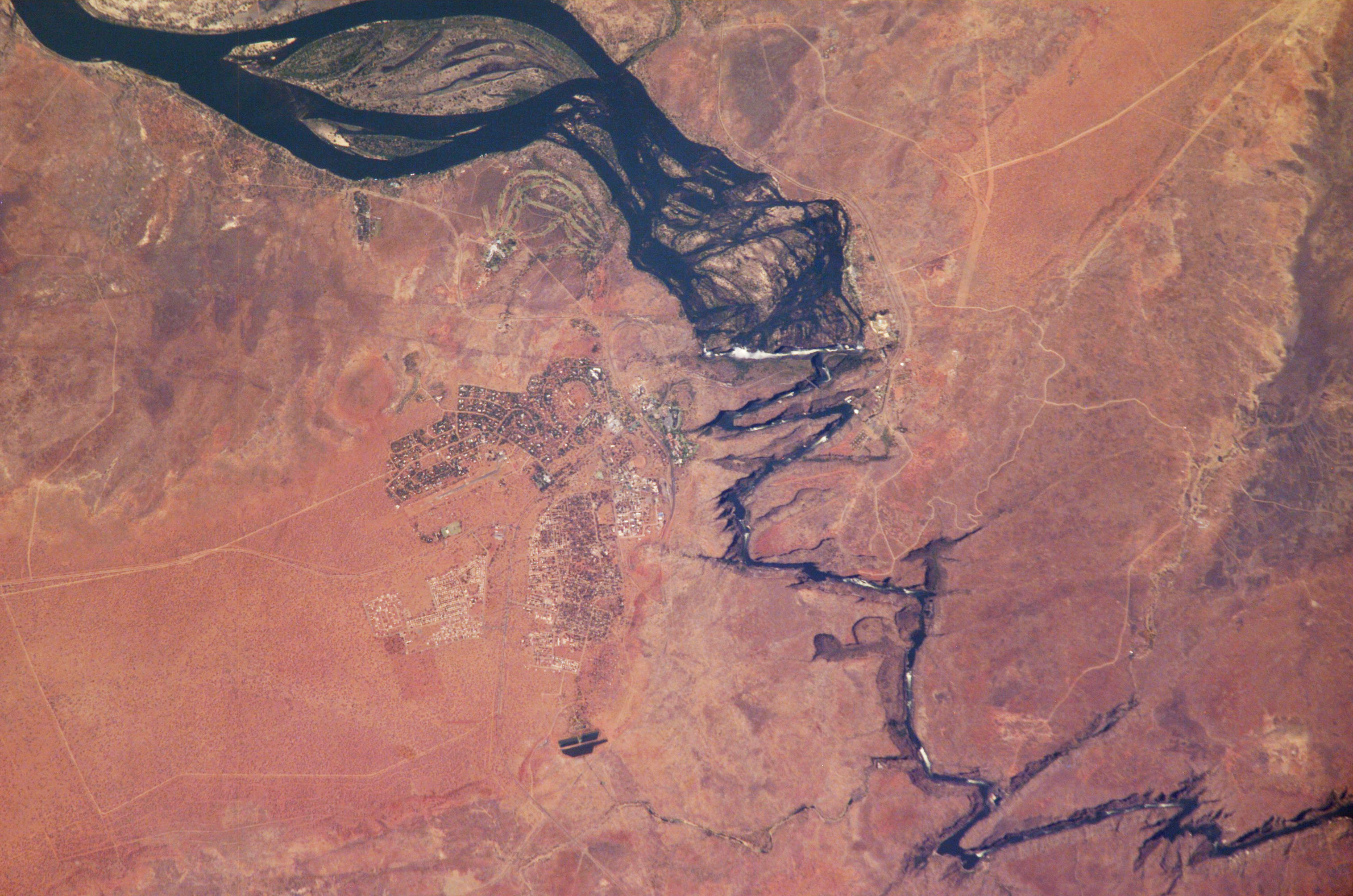
| 14:11, 23 June 2016 | Satellite view of Victoria Falls.jpg (file) |  |
1.46 MB | 1 | |
| 13:58, 23 June 2016 | Victoriafälle.jpg (file) |  |
73 KB | 1 | |
| 12:24, 22 June 2016 | The National Archives UK - CO 1069-125-10.jpg (file) |  |
179 KB | 1 | |
| 13:42, 21 June 2016 | Paul Slim Banda.jpg (file) |  |
65 KB | 1 | |
| 13:12, 21 June 2016 | Lunsemfwa Wonder Gorge.JPG (file) |  |
1.96 MB | 1 | |
| 12:36, 21 June 2016 | 800px-Big Tree Natl Mont Kabwe.JPG (file) |  |
95 KB | 1 | |
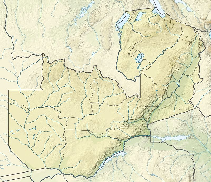
| 12:19, 21 June 2016 | Zambia relief location map.jpg (file) |  |
142 KB | == {{int:filedesc}} == {{Information |Description ={{es|1=Mapa de localización de Zambia}} {{de|Positionskarte von Sambia}} Quadratische Plattkarte, N-S-Streckung 103 %. Geographische Begrenzung der Karte: * N: 7.8° S * S: 18.3° S... | 1 |
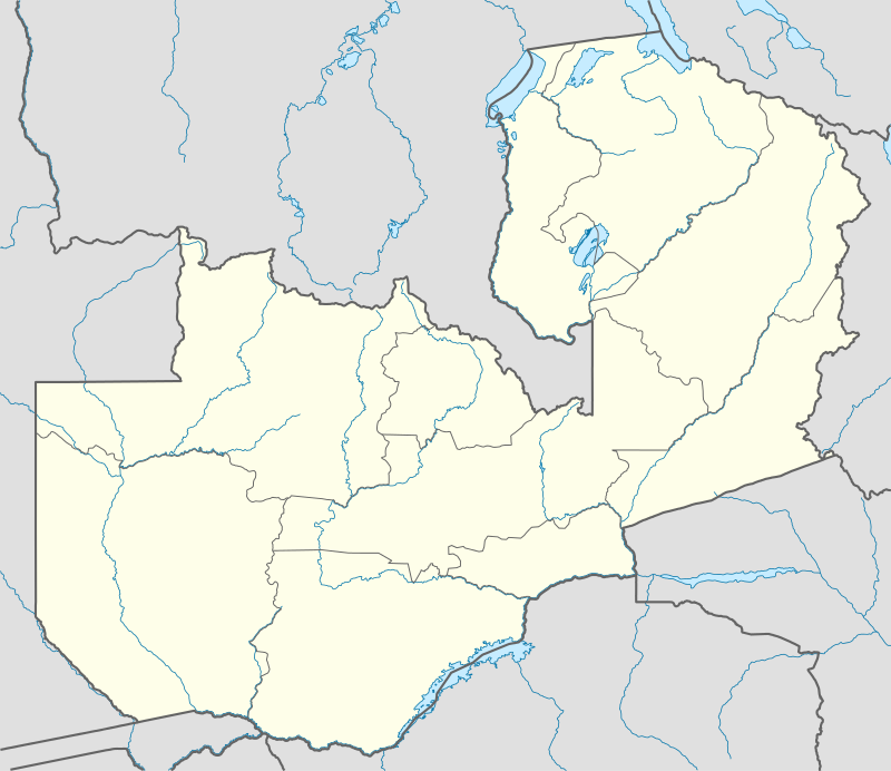
| 12:13, 21 June 2016 | Zambia location map.png (file) |  |
163 KB | == {{int:filedesc}} == {{Information |Description= {{de|Positionskarte von Sambia}} Quadratische Plattkarte, N-S-Streckung 103 %. Geographische Begrenzung der Karte: * N: 7.8° S * S: 18.3° S * W: 21.5° O * O: 34.0° O {{en|Location ma... | 1 |