File:Zambia relief location map.jpg
From Chalo Chatu, Zambia online encyclopedia
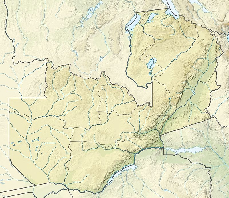
Size of this preview: 693 × 599 pixels.
Original file (800 × 692 pixels, file size: 142 KB, MIME type: image/jpeg)
Summary
| Description |
Template:Es Template:De Quadratische Plattkarte, N-S-Streckung 103 %. Geographische Begrenzung der Karte:
English: Location map of Zambia Equirectangular projection, N/S stretching 103 %. Geographic limits of the map:
|
|---|---|
| Source |
: |
| Date |
2015-01-15 |
| Author |
|
| Permission (Reusing this file) |
See below.
|
File history
Click on a date/time to view the file as it appeared at that time.
| Date/Time | Thumbnail | Dimensions | User | Comment | |
|---|---|---|---|---|---|
| current | 12:19, 21 June 2016 | | 800 × 692 (142 KB) | Icem4k (talk | contribs) | == {{int:filedesc}} == {{Information |Description ={{es|1=Mapa de localización de Zambia}} {{de|Positionskarte von Sambia}} Quadratische Plattkarte, N-S-Streckung 103 %. Geographische Begrenzung der Karte: * N: 7.8° S * S: 18.3° S... |
You cannot overwrite this file.
File usage
The following page uses this file: